Showing posts with label pikes peak. Show all posts

Wednesday, October 8, 2008

Last Aerial Photos


You read right - these are some of the last new aerial photos I'll be posting. All good things must come to an end and I only have one more day left doing aerial survey photography. It has been a good run, and definitely influenced my art work of the last year. These two photos are of Pike's Peak - taken yesterday morning. It looks like I went out with a bang - my last flight was a dramatic look over the Cripple Creek mine at the foot of Pike's Peak. Although I won't be posting many more new aerial photos, I may dig up some old ones from time to time.

Monday, March 24, 2008

Nevadaville


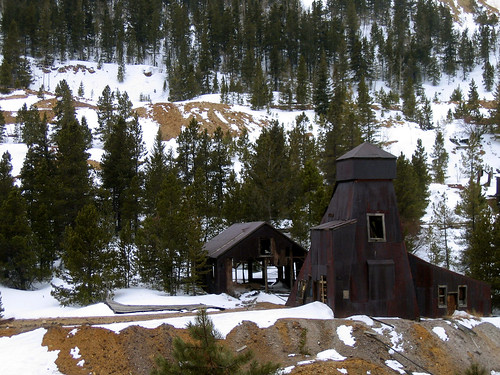
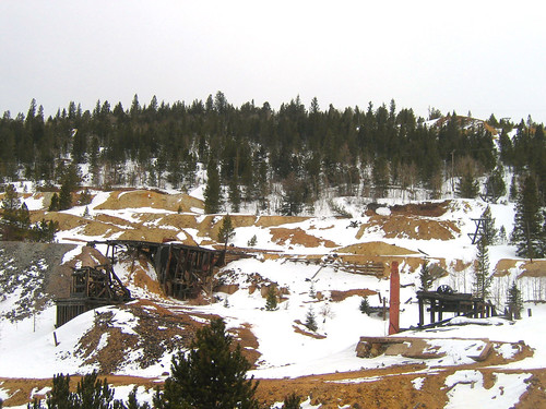
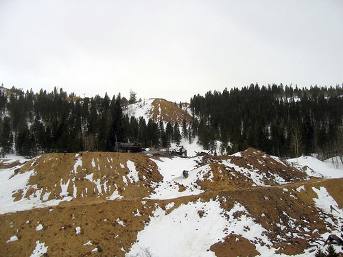
Nevadaville, CO photos by Nathan Abels

Chances are you've never heard of Nevadaville, CO. I hadn't either before this last Friday when we took a short day trip along the Peak to Peak byway. The Peak to Peak byway is a road established in 1918 that was intended to connect Pike's Peak and Long's peak, but only covers the area roughly from Golden, CO to Estes Park (55 miles). It could be covered pretty quickly, but if you did that you would be missing out. Our first detour was a stop in Central City - a town far more interesting than the built-up casinos of neighboring Blackhawk, CO. From Central City, we followed a dirt road one mile uphill to Nevadaville, CO. According to Ghosttowns.com, Nevadaville was once a thriving town of 4,000 residents in the late part of the nineteenth century but as of ten years ago only six people called Nevadaville home. From the looks of it, six residents is probably a high estimate in 2008. The photos I took there (above) are not much to look at, and do the setting a bit of an injustice. The photos do show remnants fo mining operations - evidence of which can be found all over Nevadaville. The town has a very short (aprox 5 buildings) main street of sorts in which a fire house/city hall rests and a few large-windowed storefronts lie abandoned.


photos by Dolores Steele

Numerous empty structures litter the surrounding hills and large deposits of the gold-gray colored dirt from mining fill the valley. It was a strange place, and since moving to Colorado this was the fullest ghost-town we've encountered in terms of standing structures. I find these time-capsules in the mountains to be quite fascinating and I'd recommend taking the Peak to Peak byway to anyone along the Front Range. It's an easy day trip with lots to see. More of my pics from the trip can be found here.

Sunday, April 15, 2007

Great New Aerial Photographs from This Weekend

This is just a sampling of the many photos I took yesterday. I went to Farmington, NM twice (morning and afternoon), and around Denver in between. Click on any photo to link to my flickr site set of aerial photography.

Storage facility in Denver
Snow in the Mountains
The wing of our plane looking at Pike's Peak - 14,100 ft elevation - so high that we flew beside/below it
A close up/aerial shot of Great Sand Dunes National Park
Farming fields in San Luis Valley, Co just before the Great Sand Dunes

LinkWithin

Related Posts with Thumbnails